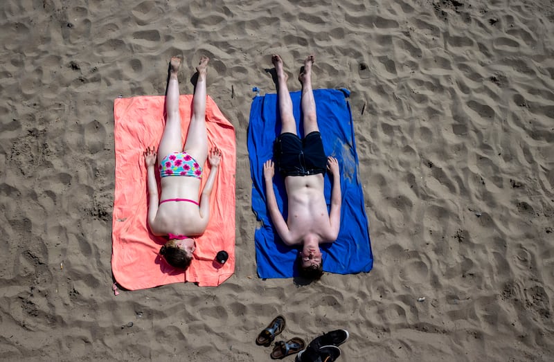
Rolling thunder and fork lighting that swept over much of the east of Ireland on Tuesday afternoon signaled the end of stifling conditions that had produced record breaking temperatures.
Loud and dramatic, Tuesday’s storms were nevertheless brief and Met Eireann forecasters cancelled thunderstorm warnings that had initially been in place until 9pm across seven counties in the southeast.
The conditions made for dramatic pictures across social media and for many, their heralding of cooler temperatures to come was welcome.
The warm air mass moving from southern Europe, which has caused devastating heatwaves, ran into cooler air moving in from the west, a weather clash that literally marked the end of current conditions in Ireland at least.
READ MORE
“That released a trigger, if you imagine the two air masses are causing conversions at the surface,” explained Met Eireann meteorologist Emer Flood.
“You have a lot of hot air at the surface suddenly being pushed up into the cold air of the atmosphere. The two density differences basically cause a lot of release of energy that allows the air particles to suddenly rise vigorously and that’s what causes these thunderstorms.”
One of the many images posted online showed a long line of lighting rapidly strike one of Dublin’s Poolbeg chimney stacks before fading away.
Another video showed a spread of fork lighting and thunder explode over a Dublin housing estate.
“The loudest thunder I have ever heard the video doesn’t do it justice, the jump was totally reasonable I swear. But god do I love a good thunderstorm,” the post said.
As the storm rolled away - relatively quickly and with less heavy rain than had been expected in most areas - it paved the way for cooler temperatures. Met Eireann expects these to range from about 16 to 21 degrees, a significant drop from the 30 mark reached and even surpassed at several weather stations on Monday.
Further warm air is due to return over the weekend but with it rain and humidity, making for fresher but probably wet and sticky conditions.
[ Europe heatwave: Ferocious heat moves north as UK braces for hottest dayOpens in new window ]
[ Demand for drinking water in Dublin close to capacity, says Irish WaterOpens in new window ]

A yellow thunderstorm warning had initially been issued to cover counties Carlow, Kilkenny, Wexford, Wicklow, Cork, Tipperary and Waterford lasting into Tuesday night. A possibility of heavy showers with some localised flooding was also flagged.
Showers are expected to continue throughout the night in the south and east of the country. A cooler night is predicted with temperatures dropping around the country to 11 to 14 degrees, far below the levels experienced late into Monday.
Still, the temperatures reached at the beginning of the week will continue to be a cause for concern in the context of extreme weather and global warming with the 33.1 degrees recorded at the Phoenix Park in Dublin on Monday afternoon just 0.2 degrees below the 33.3 record registered at Kilkenny Castle on June 26th, 1887.
Things may be cooling down in Ireland on the extreme western fringe of Europe, but conditions remain chaotic in other countries.
As the mercury passed 40 degrees in London for the first time on Tuesday, the city’s fire brigade declared a major incident due to “a huge surge” in blazes.
In France too, several towns and villages reported record temperatures as related fires continued to sweep the country’s southwest.


