|
Mullaghmeen Forest, Co Westmeath
Start and finish: Mullaghmeen Forest car park, seven or eight kilometres north of Castlepollard. |
Hillwalkers are high achievers, so to speak, and we like to drone on about our exploits: “I covered 40km today, and the new boots shredded my feet,” or “I’ve topped out the highest mountains in Ireland, England, Scotland, Wales, France and Spain.” Recently I added another feather to my cap with an ascent of the highest point in Co Westmeath – all 261m or thereabouts. And it is well worth the effort. This little nugget is in Mullaghmeen Forest, in north Co Westmeath, just beside the county border with Co Meath. The park has Europe’s largest planted beech forest and is also home to Sitka spruce, Scots pine, noble fir and a fine native tree collection.
Originally the land formed part of Lord Buckingham’s estate; it was later acquired by Lord Gradwell of Dowth Hall, in Co Meath, and run as a farm. In the 1930s the land was acquired by the Department of Agriculture, and the limestone-rich soil was planted with deciduous trees imported from Norway, Sweden and Germany. The forest, which covers more than 400 hectares, contains evidence of famine fields. There are the remains of a booley hut – a summer grazing shelter – and evidence of flax pits.
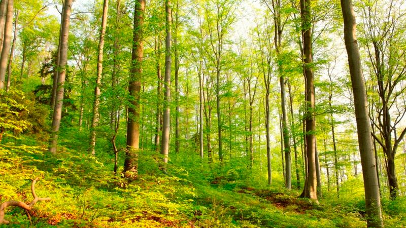
When we made our assault on this tor, in mid-March, there wasn’t a leaf to be seen on the more than 70-year-old beech trees, just a curtain of bare trees stretching into the grey sky.
We arrived in the parking and picnic area, from which walking trails radiate out in all directions. A large Coillte noticeboard has a map showing the various trails, with curiosities highlighted.
We headed up the main trail leading from the car park, on an avenue lined with those bare beeches. Continuing uphill on this trail and ignoring all other trails to the left and right, the route gradually veers off to the left, where we came upon the location of a native tree collection on the right – about 1,500m from the car park. Farther on we took the next turn right and, after another 150-200m, took the next main trail on the left.
After 250m a trail breaks off to the right – we took this and lazily wound our way uphill in a northerly direction. The trail becomes rough and broken, with obvious signs of tree-cutting. At a high point another trail breaks off uphill in an easterly direction. Shortly we found ourselves on top of the highest point in Co Westmeath.
At present the summit of Mullaghmeen does nothing to inspire, looking more like a blitzed landscape from the clear-cutting. However, even though it was misty and the grey cloud was very low, it was easy to appreciate that on a finer day views from the top would be quite impressive.
As we moved away from the summit in an easterly direction, the trail swung downhill to eventually join up with a much larger trail. We turned left here and proceeded for about 200m, then turned right on to another trail. We passed the famine fields and flax pits on our way back to the car park.


