It is quite staggering that just days into the new year, record high temperatures for January are occurring throughout much of Europe. And the margin of increase is in whole degrees; not fractions – the usual yardstick of global warming. In many locations temperatures climbed 15 degrees above normal.
The trend has been marked across a vast area from Scandinavia to the Mediterranean. The warmest January day ever was recorded in at least eight European countries including Poland, Denmark, the Czech Republic, the Netherlands, Belarus, Lithuania and Latvia, according to data collated by Maximiliano Herrera, a climatologist who tracks extreme temperatures.
This is the latest indication a warming world is leading to more frequent and extreme weather events. The fingerprints of climate change are all over these latest records. They are another indication of the yo-yoing of hot/cold weather patterns that are the new norm.

Northern Spain and the south of France has basked in beach weather with 24.9 degrees in Bilbao, its hottest ever January day. Only Norway, Britain, Ireland, Italy and southeast Mediterranean posted no records – though Ireland had an exceptionally warm autumn and early winter apart from a mid-December cold snap.
How a hotter world is affecting Ireland in five graphics
Our last flood was so severe that within minutes water was pouring into the electrical sockets a few feet up the wall
How krill fishing threatens whale recovery in Antarctica
Irish company leveraging AI to help brands communicate climate actions responsibly and avoid claims of greenwashing
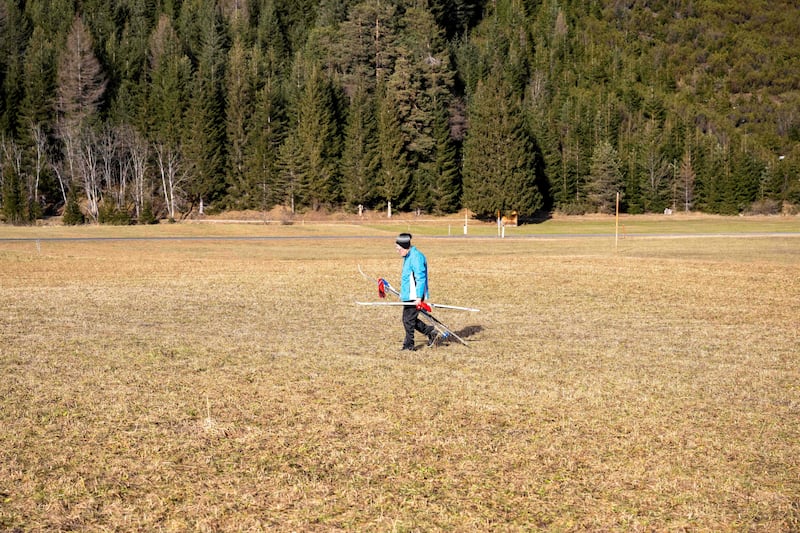
It has led to closure of ski slopes in the Alps with many unlikely to open in the short-term. The one comfort is a sharp decline in gas demand for heating homes across the Continent in the midst of a penal energy crisis.
“We can regard this as the most extreme event ever seen in European climatology,” Herrera said. “Take the case of July 2022 UK extreme heatwave and spread this sigma [magnitude] in a much huger area, encompassing about 15 countries. We can arguably say this is the first time an extreme weather event in Europe – in terms of extreme heat – is comparable to the most extreme in North America.”
Meteorologist at the UK Met Office Alex Burkill agreed it was an extreme weather event: “It’s been extreme heat across a huge area, which is almost, to be honest, unheard of.”
The prime cause is a warm air mass that developed off the west coast of Africa that has travelled northeast across Europe from Portugal and Spain, pulled in by high pressure over the Mediterranean.
Meteorologist Scott Duncan believed temperatures across Europe were staggering. “We had a very warm new year last year but this blows that out of the water. We observed long-standing records broken by large margins across several countries.”
The full range of causes were difficult to ascertain, he added, with La Niña – a cooling of the Pacific Ocean – and anomalous warmth in sea surfaces playing a role. “None of the above here is new though, so what took extreme to record-smashing status? Our warming atmosphere and oceans are ultimately making records easier to break.”
Climate experts have long predicted global warming will cause warmer, wetter winters. But as with the shrinking of the Alpine glaciers, the rate at which ski resorts become unviable seems to be accelerating. At French resort Alpe d’Huez, no snowfall at all is forecast during the next seven days and only 23 out of 70 lifts are open, according to onthesnow.com.
A study by the University of Basle warns higher resorts will have to rely increasingly on artificial snow to survive in the longer term, raising their water consumption by up to 80 per cent. This could cause conflict between the winter sports industry and local communities, whose energy comes from hydropower. It predicts a huge increase in the cost of skiing, as resorts switch to expensive and artificial ways to preserve their slopes.
One of the main factors that creates weather has to do with what cold and warm air are doing at any particular moment. A bomb cyclone – as happened recently in North America – starts as a big storm cruising across the ocean – normally at a higher latitude than a normal hurricane ie the jet stream. It’s formed by the difference in temperature between the warmer air coming from the Gulf Stream of the Atlantic Ocean and colder air coming off the North American Continent.
Temperatures in places plunged in just a few minutes as one of the greatest North American storms ever recorded swept down from the Arctic to Mexico, sometimes at hurricane speed. The interaction is complex but we know with confidence human-caused warming is moistening Earth’s atmosphere, thus changing a component of the bomb, ie making for more volatility.
Prof Bill McGuire of University College London, who specialises on climate breakdown, noted recent high temperatures were a portent of worse to come.
He added: “The most worrying thing about this is that – such is the speed of global heating – it simply isn’t a surprise any longer. It is a small glimpse of a future that will see winter reduced to a couple of months of dreary, damp, and mild weather, with little in the way of frost, ice or snow.”
The weather pattern over longer periods confirms the locked-in trend that will only be broken by sustained reductions of carbon emissions. 2022 will probably be the warmest year on record in Ireland, the UK and much of Europe, indicating the climate crisis is having an immediate impact.
While last summer’s extreme heat stands out, what has been noteworthy has been the relatively consistent increase in heat over the year, with every month except December being warmer than average. – Additional reporting Guardian


