
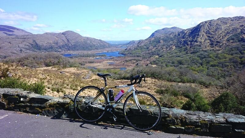
This is a cycle into the old-world side of Kerry. A trip to Brosna is a trip to one of Ireland’s highest parishes and a contender for the steepest main street. Add to that the magic of Kerry, Cork and Limerick merging at one point, as well as the rolling countryside of the Feale valley in west Limerick. This adds up to more than 50km of varied cycling on peaceful country roads.
Head to Castleisland, Co Kerry, and find the car park. From there, follow the one-way system onto Main Street, up through the town, continuing straight through the traffic lights. After 1.3km, keep to the left, following the road signposted for Brosna. After the initial flat start to the route, the first climb of the day soon kicks in. This section of the route is quite undisturbed by traffic as well as time. The gradient is very much a minor distraction, as the road passes close to wonderful old farms and small cottages showing off their attractive gardens and bulging turf sheds.
The peak of this first climb is at Lyre, a very quiet and remote area. Quickly the route descends, before the road kicks back up to a shorter second climb. By now the road passes through an area thick with trees. Another fast descent sees the route enter the village of Brosna, claimed by many a local to be Ireland’s highest parish. It is not difficult to see why, as the main street sits on a thigh-burning hill, stretching out beyond the village.
Once through the village, pass by the Brosna GAA grounds to the right and back out into the countryside. This section of road becomes slightly narrower and at times a little uneven, but the eye will be drawn to views of the River Feale down to the left of the route, as it winds through the rich valley towards the coast.


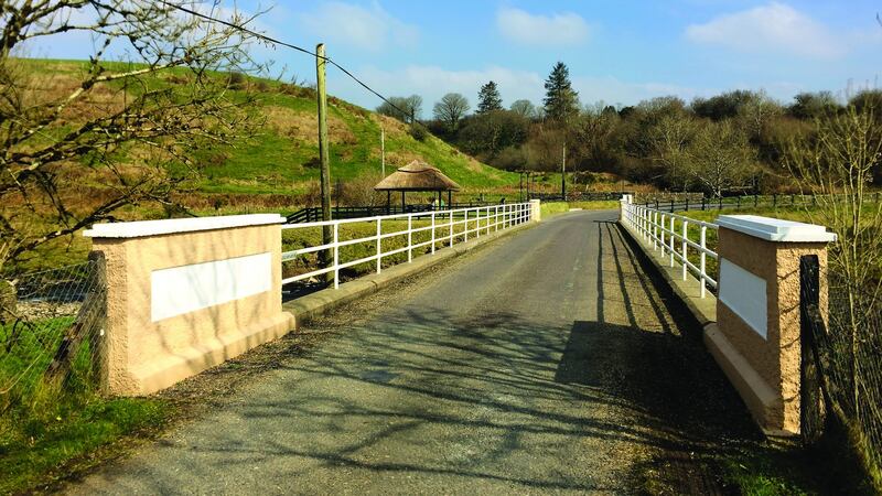
Descending towards the aforementioned river, cross the R576 and go over the bridge. It is close to this point where the Kerry, Cork and Limerick borders meet. The point is marked by a sign in the river and a gazebo-type shelter, erected by the local village committee.
Here you will find some useful information about the area as well as an entrance to a short walking trail.
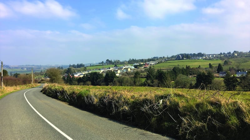
Once over the bridge, take the first turning to the left, between two walls that resemble a bridge and proceed in a north-westerly direction, up the small hill and into Co Limerick. This narrow road leads to the pretty village of Mountcollins. Pass through the village and follow the signs for the West Limerick Drive. This part of the route is very attractive, with rolling countryside, old farmhouses and cottages accompanying the winding road. At 2km outside Mountcollins, take a left at the fork in the road and continue to a T-junction close to Dillane’s shop, which sits near the Limerick/Kerry border. This is a good place for refuelling and a toilet break if needed.
From Dillane’s, turn left and cycle across the River Feale and back into Co Kerry. Keep following what was formerly the old main road between Kerry and Limerick and continue under the new N21, keeping to the left. Proceed for approximately 5km to O’Connor’s at Headley’s Bridge and cycle over the bridge and the River Owveg. Follow the signposts for Tralee and Castleisland as the road starts a gentle climb for about 2km,before finally merging with the N21. Continue to the summit.
At the top there is a viewing park, offering great views on a clear day of the MacGillycuddy’s Reeks, Carrauntoohil, Tralee Bay, Castleisland and its surrounds. As the road starts to descend, take the left turn, signposted for Crag Cave. As descents go, this is possibly one of steepest in the county. Take care as the road lurches down in two steep sections towards Crag Cave. Be aware of oncoming traffic, especially at the foot of the descent which crosses a narrow bridge. Once that adrenaline rush is over, catch your breath and enjoy the final 3km of very flat road back into Castleisland and the car.
Route: Castleisland-Brosna-Three Counties -West Limerick-Feales Bridge-Castleisland
Grade: 3/4
Distance: 52.5km
Height gain: 652m
Time: 2½ to 3 hours
Start/finish: Castleisland sits quite centrally within Kerry and is a very accessible town. A good starting point for this cycle is the town car park, which is situated in the centre of Castleisland on the Killarney road.
- An edited extract from Cycling Kerry: Great Road Routes by Donnacha Clifford and David Elton, published by The Collins Press, price €14.99. It is available from all good bookshops and online from collinspress.ie


