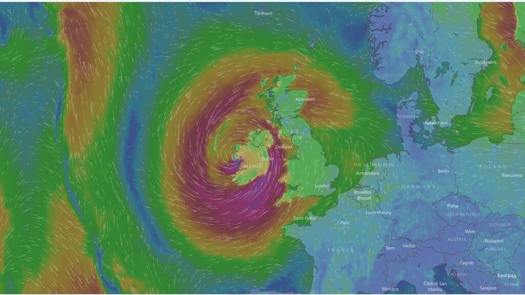
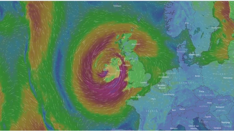
The strongest effects expected to be felt from Hurricane Ophelia will be late on Monday off Kerry and then Galway, according to Met Éireann.
However, at the same time, the forecasting service is downplaying suggestions that the storm could become the strongest post-tropical storm to hit Ireland in recent years.
For Saturday and Sunday, most of Ireland is expected to experience unseasonally high temperatures but with some heavy rain along the western seaboard – a prelude to the arrival of what will actually be the tail end of Ophelia.

"The hurricane is expected to go up the west coast and along the Kerry coast and then in over Galway Bay, up though Connemara and then into Scotland. It loses status all the time so by the time it gets to Scotland – it's just a wet and windy depression," according to a spokesperson for Met Éireann.
"There's an argument even if it's a hurricane off the West Coast of Ireland. The [US] National Oceanic and Atmospheric Administration is calling it a tropical storm with hurricane force winds."
Doonbeg
While Met Éireann played down some of the wilder predictions that US president Donald Trump’s west Clare golf links could be swept away, a forecaster offered that it was nonetheless “definitely not a day to be visiting Doonbeg”.
“Donald won’t be best pleased if the storm surge comes in,” they said.
“I think on Sunday evening we will probably see the first signs of the hurricane. These hurricanes have a mind of their own and have their own meteorology.
“They are different to what we normally get and this is why it can be hard to track. They are not quite as predictable. The strongest winds, as I see, will be Monday evening.
“The eye of the hurricane is just off Kerry about six o’clock on Monday evening and will move closer to Galway about three hours after this.”
Monday
Weather forecasting services in the United Kingdom are also preparing for the tail end of the hurricane to hit their shores. The British forecasting service has said the storm could bring winds of between 60mph to 70mph when it arrives on Monday.
UK Met Office forecaster Alex Burkhill said cold sea temperatures mean Ophelia will not be strong enough to be categorised as a hurricane when it hits Britain.


